Revolutionizing Urban Digital Twins with Open Source Technology
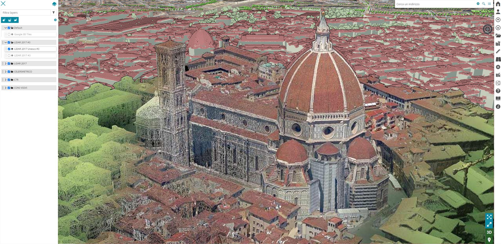
TwinCity3D enhances the tools and knowledge of those working with spatial data, facilitating the processes that will shape the cities of tomorrow. Within a single open-source geospatial platform, TwinCity3D enables real-time access to all databases, contextualizing them within a highly detailed, three-dimensional model of the area.

Urban Digital Twin
Work on a certified, measurable, and extremely realistic 3D copy of the city. Harness the full power it offers and start on the path toward a Digital Twin and Smart City.
Web Gis 3D
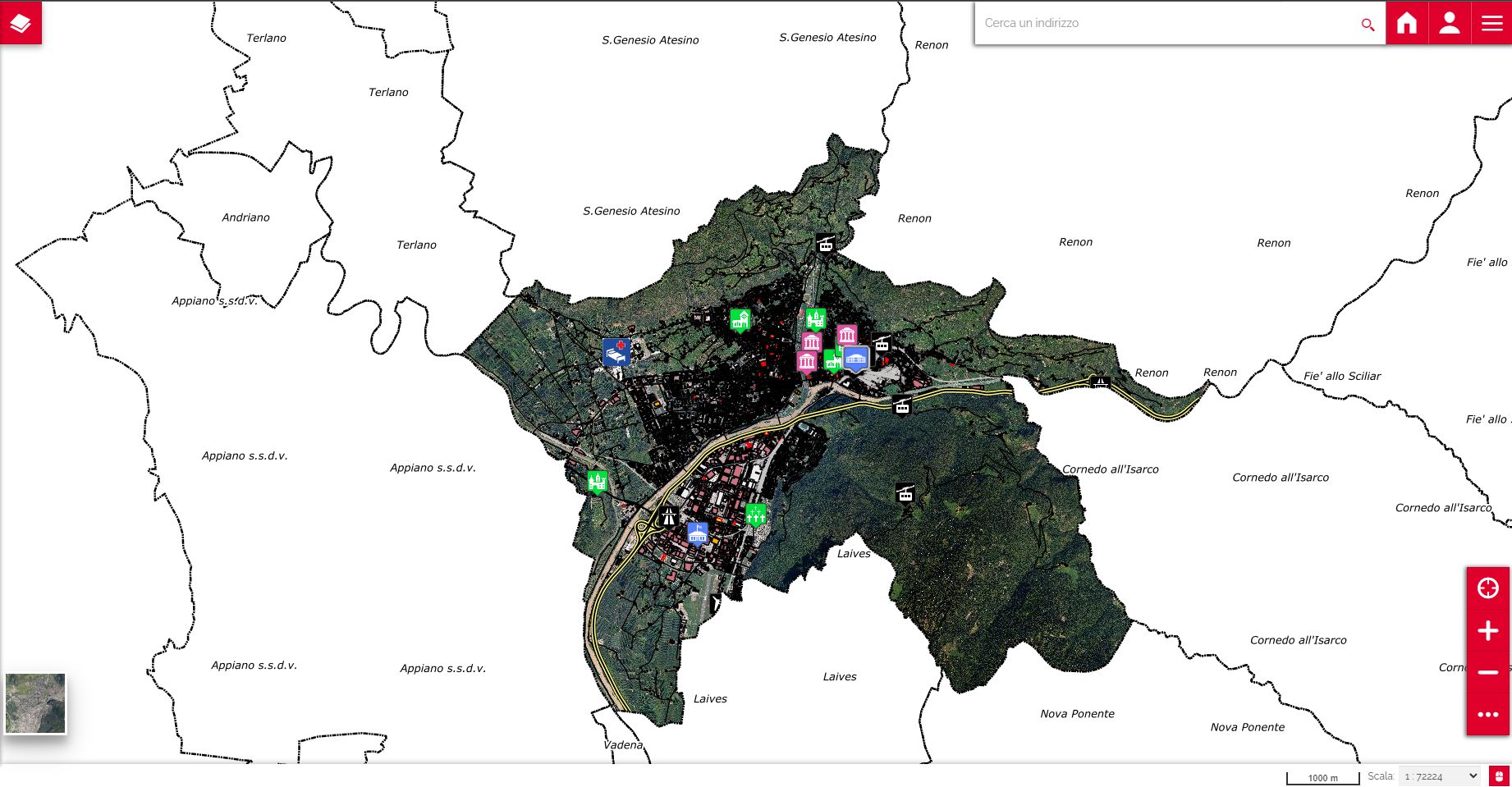
TwinCity3dis the open-source Web GIS platform that natively integrates a highly detailed 3D digital model of the territory. The system offers a clearer view of any georeferenced data, thanks to the three-dimensional model, which provides new and more detailed insights.
Why adopting TwinCity3d
Performance
TwinCity3d integrates a native Level of Detail (LOD) system, allowing the software to download and process only the data relevant to the video window based on zoom level. This ensures that performance remains consistent when switching from 2D to 3D.
Value for money
With TwinCity3D, you have full control over your data and software: the platform is free and open-source, so there are no licensing costs; the only expenses involve creating the digital model of the area, installation, support, and any software customizations. The included professional training services provide the knowledge needed to manage and expand your TwinCity3D platform.
Reliability
Behind TwinCity3D are two market-leading companies in WebGIS and 3D Surveying: GeoSolutions and Aeronike. With a history of success, innovation, and extensive industry experience, they bring proven expertise to the platform.
Future Proof
Protect from obsolescence, TwinCity3d means staying on the cutting edge with software that continually grows and improves over time, offering limitless customizations to achieve a true Digital Twin.
From our portfolio
Our projects, always at the forefront of technology, are our references.


